Maps
This 1771 map shows the Line of Property as the boundary between the Six Nations and New York. Guy Johnson, “To His Excellency William Tryon, Esq. Captain General and Governor in Chief of the Province of New York.” New York State Library Manuscripts and Special Collections, Albany, NY.
Detail from “Province de New York: en 4 feuilles.” 1777. Drawn by cartographer John Montrésor, this map shows the home of Louis and Maria Denny at the Indian Castle on Schoharie Creek in the lower right-hand corner, and in the upper left, the Indian Castle of the Canajoharie Mohawks upriver from the settlement known as Timmermans. New York Public Library Digital Collections.
By the late 1790s, the best land was in the middle of the Oneida Reservation surrounded by a grid of lots. Located on the Genesee Road was John Denny’s inn on Canaseraga Creek, Wemp’s near Cowaselon Creek, and Oneida or Kanonwalohale on Oneida Creek. Klock’s place was to the south of Wemp’s. “A Map of the Oneida Reservation including lands leased to Peter Smith,” New York State Library Manuscripts and Special Collections.
Map of the Oneida Indian Reservation in 1810. The property granted to Angel Deferrier juts out of the western border to meet the Seneca Turnpike. The best land, to the north of Angel’s grant, remained in Oneida hands. Series A0273-78. New York State Archives Digital Collections.
The first survey of the best land. The land reserved to Martinus Denny was cut out of Lot 6, which was, as noted, granted to Angel Deferrier in 1817. “A Survey of the Lands purchased of the Christian Party of Oneida Indians, the 3rd of March 1815,” A4019, vol. 14, Land Survey Field Book, MU1, Reel 16, New York State Archives, Albany, NY.
Detail showing the Oneida Reservation of 1840. Alongside the Oneida families of Beechtree, Doxtator, Webster, Schanandoa (Skenandoah), Cornelius, and Charles lived my Harp, Ratnour, Green, and Gregg kinfolk with my Moot and Clement relations close by. From Gillette’s Map of Madison Co., New York: from actual surveys, 1859, Library of Congress, Geography and Map Division.
Detail of the best land crossed by the Erie Canal, the New York Central Railroad, and the Seneca Turnpike. Charles Deferrier and his sisters Sophia Loomis and Mary Cobb lived near each other on the turnpike, while Mary and her husband Nelson Cobb farmed Lot 4 along Cowaselon Creek. From Gillette’s Map of Madison Co., New York: from actual surveys, 1859, Library of Congress, Geography and Map Division.
People and Places
Schoharie Valley. Brewer Collection
Margaret Timmerman Deed 1734. David Kendall Martin, The Eighteenth Century Zimmerman Family of the Mohawk Valley
Hendrick Theyanoguin, Mohawk Bear Clan Sachem of Canajoharie (d.1755). John Carter Brown Library
Good Peter or Agwrongdougwas (ca. 1717-1792). Yale University Art Gallery
Polly Denny Deferrier (1775-1853). Frederick Spencer, artist. Madison County Historical Society
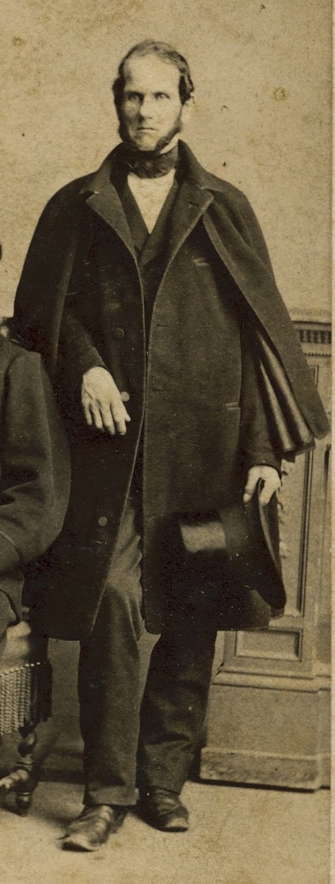
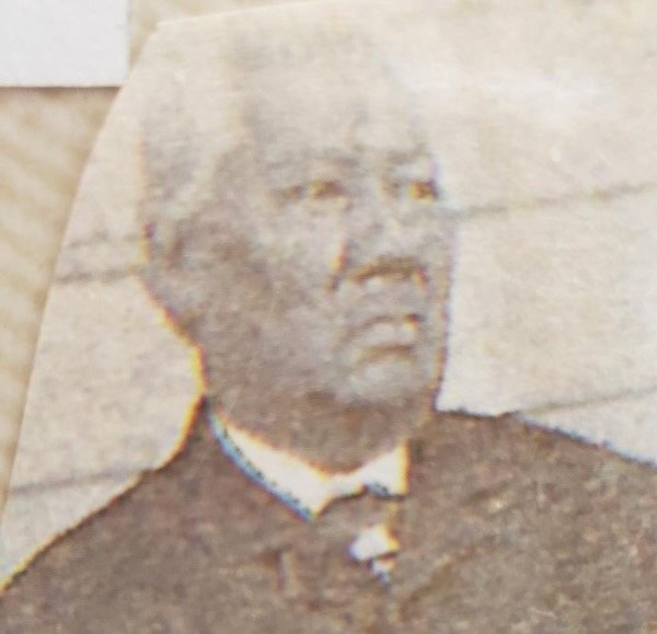
Charles Defferier (1804-1890), son of Angel and Polly Denny Deferrier. Madison County Historical Society
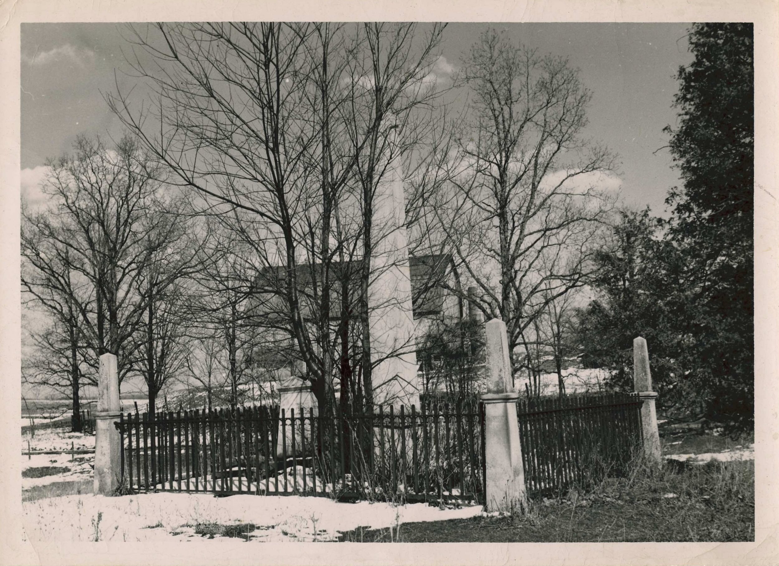
Deferrier Cemetery (undated) Oneida, NY. Madison County Historical Society
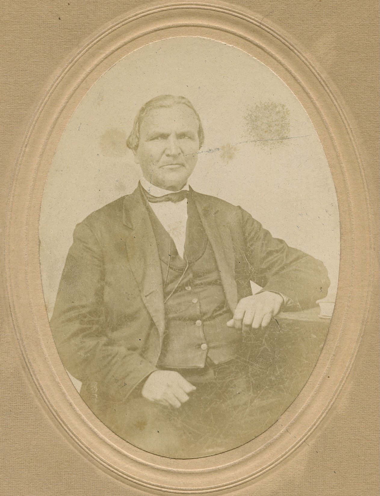
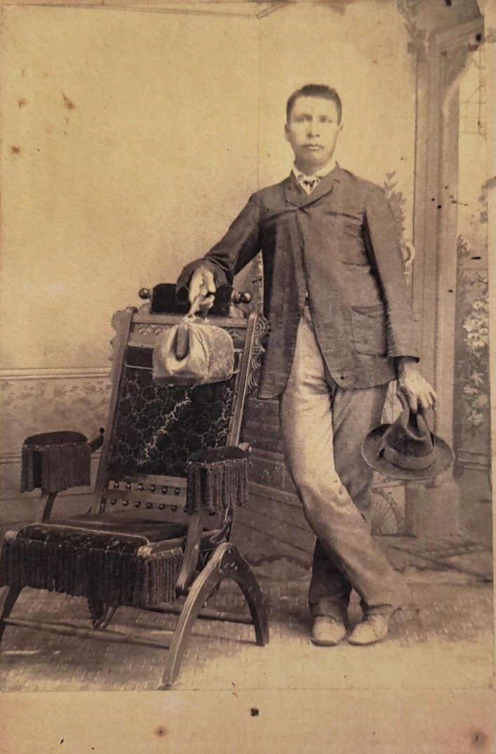
Thomas Cornelius (1813-1884). Madison County Historical Society
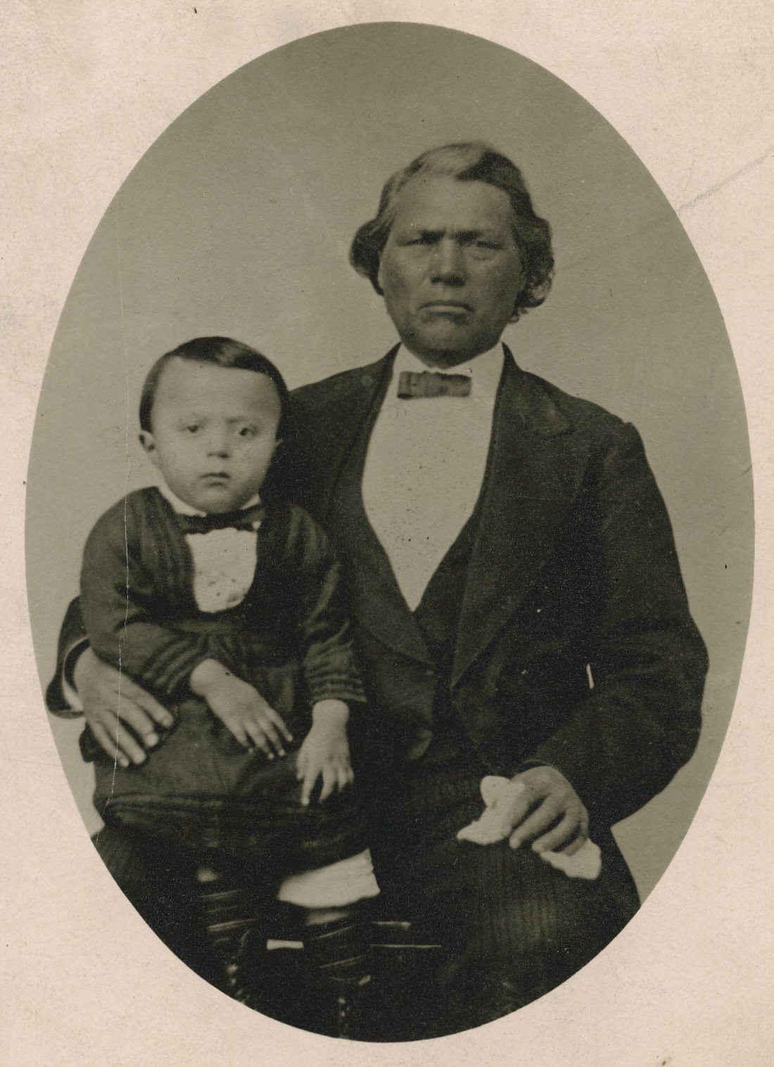
Daniel Skenandoah, Sr. (1812-1891) and grandson Isaac. Madison County Historical Society
Marshall John (1878-1933) with his parents, Melinda Skenandoah John (1853-1931), daughter of Daniel Skenandoah, Sr., and John John. Karst Collection
Nancy Skenandoah Honyost (1881-1954), granddaughter of Daniel Skenandoah, Sr., and her daughter Rose Honyost Johnson (1904-1971). Lynch Collection
Mary Honyost Skenandoah (1838-1922) with friends and family including her son Chapman Skenandoah, her nephew Chief William Honest Rockwell, and her brother Nick Honyost. Syracuse Post Standard 28 July 1916, Collection of the Onondaga Historical Association
Norma, Ruth, Robert “Bob,” and James “Jimmy” Johnson, children of Rose Honyost and Deforest Johnson, at Marble Hill, 1936. Lynch Collection
Great-uncle Nelson Skenandoah with Jimmy and Bob Johnson. ca. 1940. Bob Johnson served in the Marine Corps in the Viet Nam War and later as crew chief of Marine One, the helicopter used by Presidents Johnson, Nixon, and Ford. “Where the president went, we went with him,” said Bob. Lynch Collection
Rose Honyost Johnson with her grandson Dick Lynch, son of Norma Johnson. Lynch Collection
Elizabeth “Lizzie” Moot Clement (1836-1916) and William Clement (1827-1874). Brewer Collection
The Clement Sisters (Jennie, Lucy, Ellen, and Eva). Brewer Collection
Frank Brewer (1861-1940). Brewer Collection
Elizabeth “Lizzie” Moot Clement and Jennie Clement Brewer (1866-1926). Brewer Collection
DeVerne, Harry, and Hazel Brewer, children of Frank and Jennie Brewer. Brewer Collection
Mabelle Greene Brewer (1903-1984) and DeVerne Brewer (1899-1978). Brewer Collection
Brewer Farm in the 1930s. Brewer Collection
“Milk is Making Men of Us.” Dickie the pony, Bob, and Herb, 2nd place winners in the National Recovery Administration Parade, Oneida, NY, 1935. Brewer Collection
Virginia “Ginny,” Richard “Dick,” Herbert “Herb,” and Robert “Bob" Brewer, the children of DeVerne and Mabelle Brewer. 1943. Brewer Collection
Herb and DeVerne Brewer. Brewer Collection
William “Chief Billy Beechtree” Doxtator (ca. 1820-1894). Karst Collection
Lydia Doxtator (1859-1926), daughter of William Doxtator, with her mother Mary Chrisjohn. Karst Collection
Louis Doxtator (1855-1894), the son of William Doxtator and Polly Antone. Karst Collection
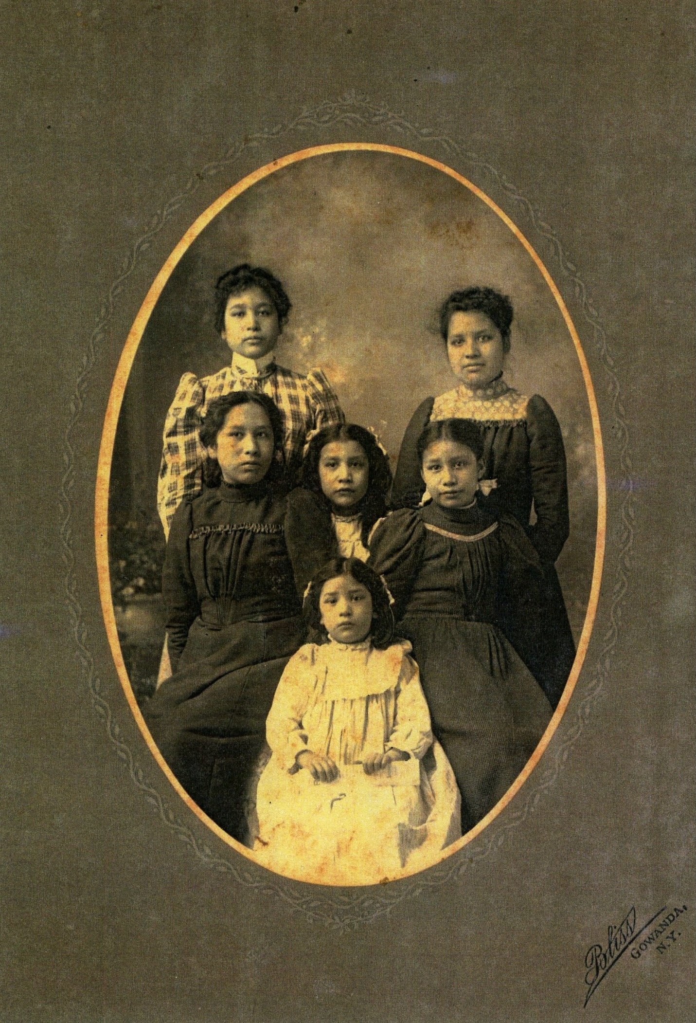
The Doxtator Sisters. Top row, left to right: Stella (1884-1949), Anna (1885-1966). Middle row, left to right: Emily (1888-1984), Lucy (1893-1986), Electa (1889-1937). Bottom row: Ellen (1895-1918). Karst Collection
The Thomas Indian School on the Cattaraugus Reservation. Attended by the Doxtator sisters. Karst Collection
Stella Doxtator. Karst Collection
Stella Doxtator. Karst Collection
Anna Doxtator Johnson Skenandoah, Turtle Clan Mother. Karst Collection
Electa Doxtator, wife of Lyman John. Karst Collection
Public School at Five Chimneys 1898. Lyman John (1889-1972), far left, and Elizabeth “Lizzie” Skenandoah (1888-1941), great-great niece of Polly Denny Deferrier, fourth from left. Karst Collection
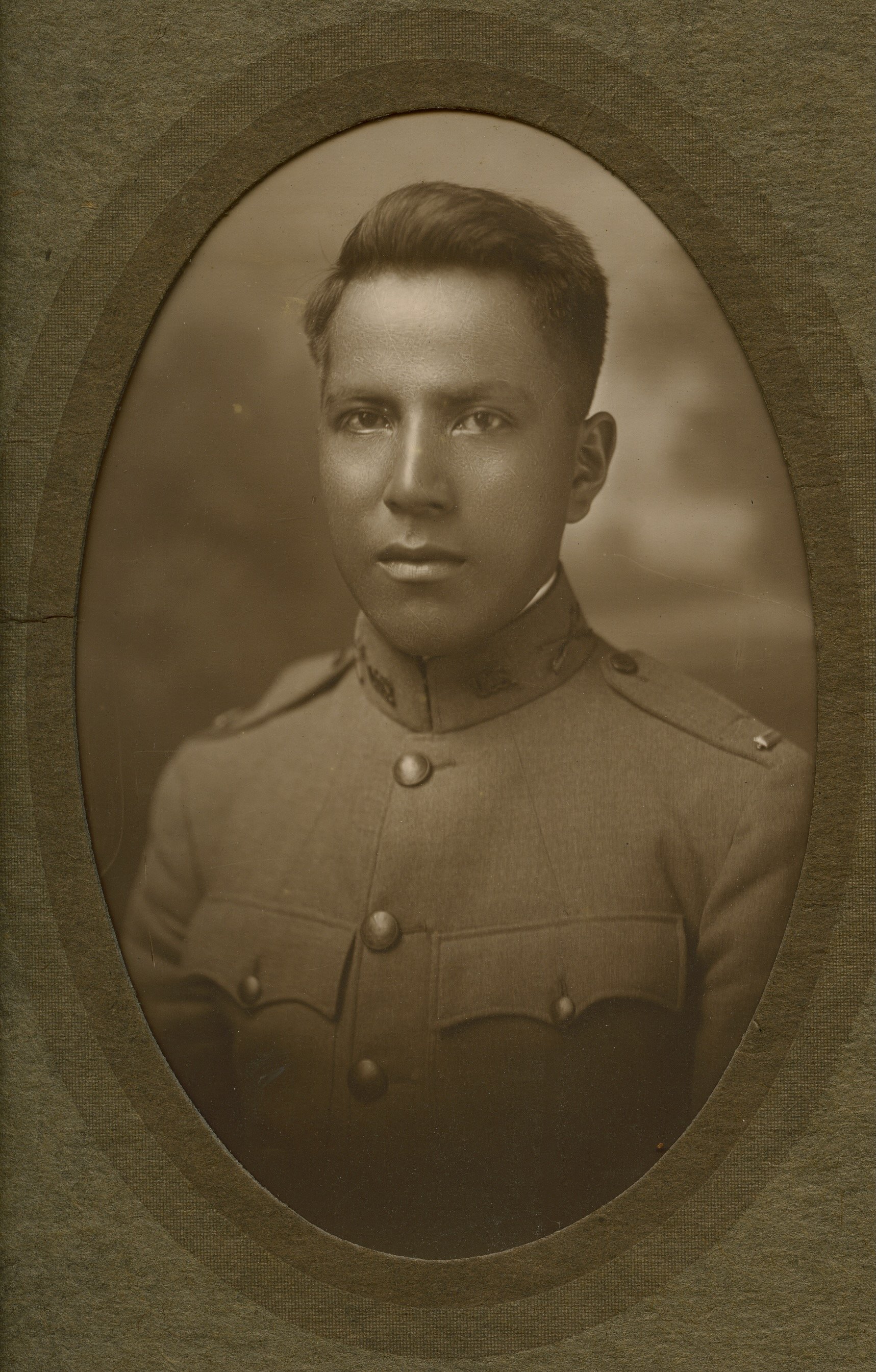
First Lieutenant John Powless, son of Sophia Powless and stepson of John Denny, World War I. Madison County Historical Society
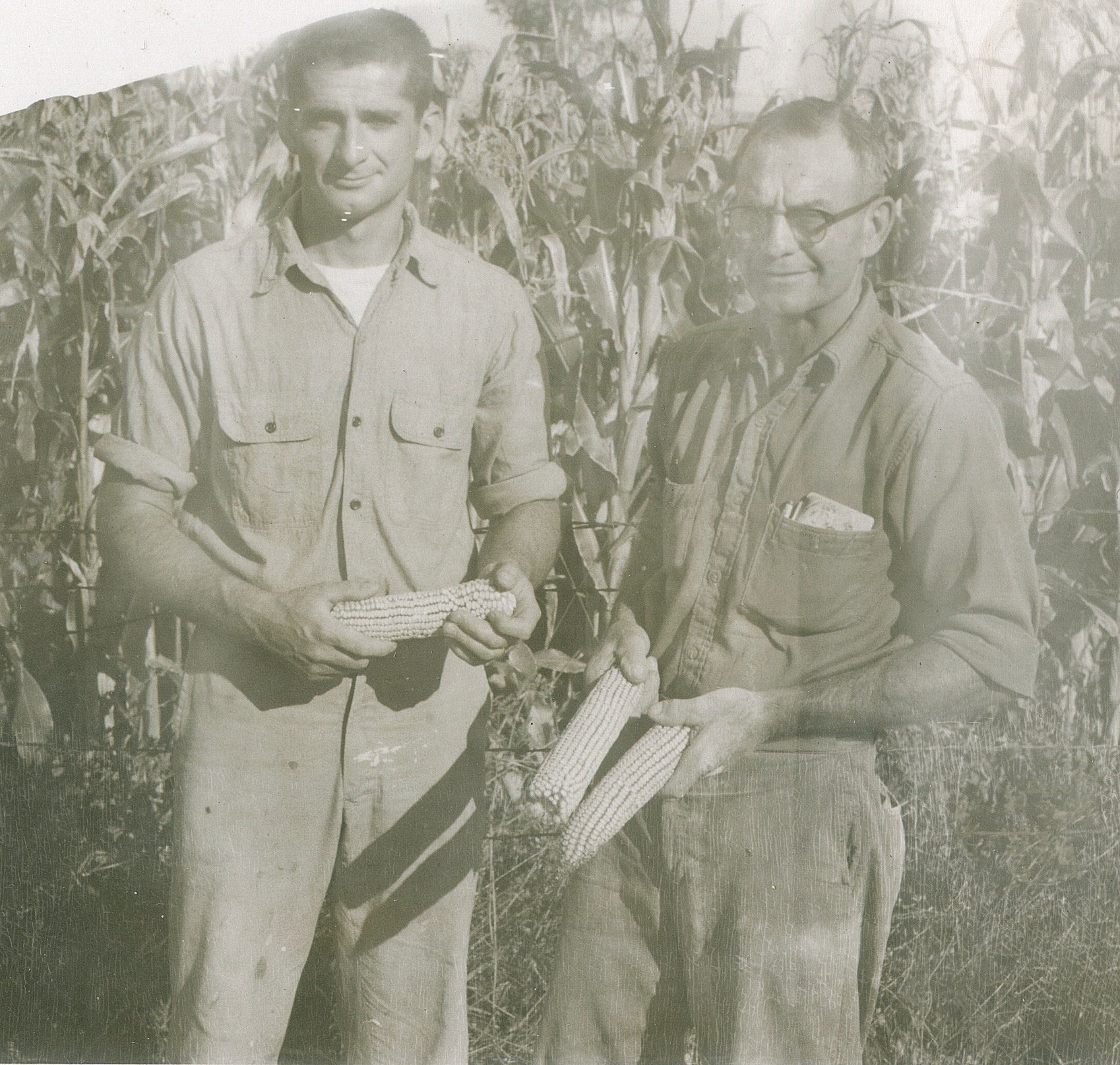
Ella Mae Staudt John and Martin John, son of Electa Doxtator and Lyman John, Peterboro Road, Oneida, NY, 1943. Karst Collection
Rebecca “Becki” John Karst with her father Martin John (1917-1993). Karst Collection
Chief William Honyost Rockwell distributes the treaty cloth to the family of Marian John Miles, daughter of Electa Doxtator and Lyman John, 1955. Unidentified newspaper, Karst Collection
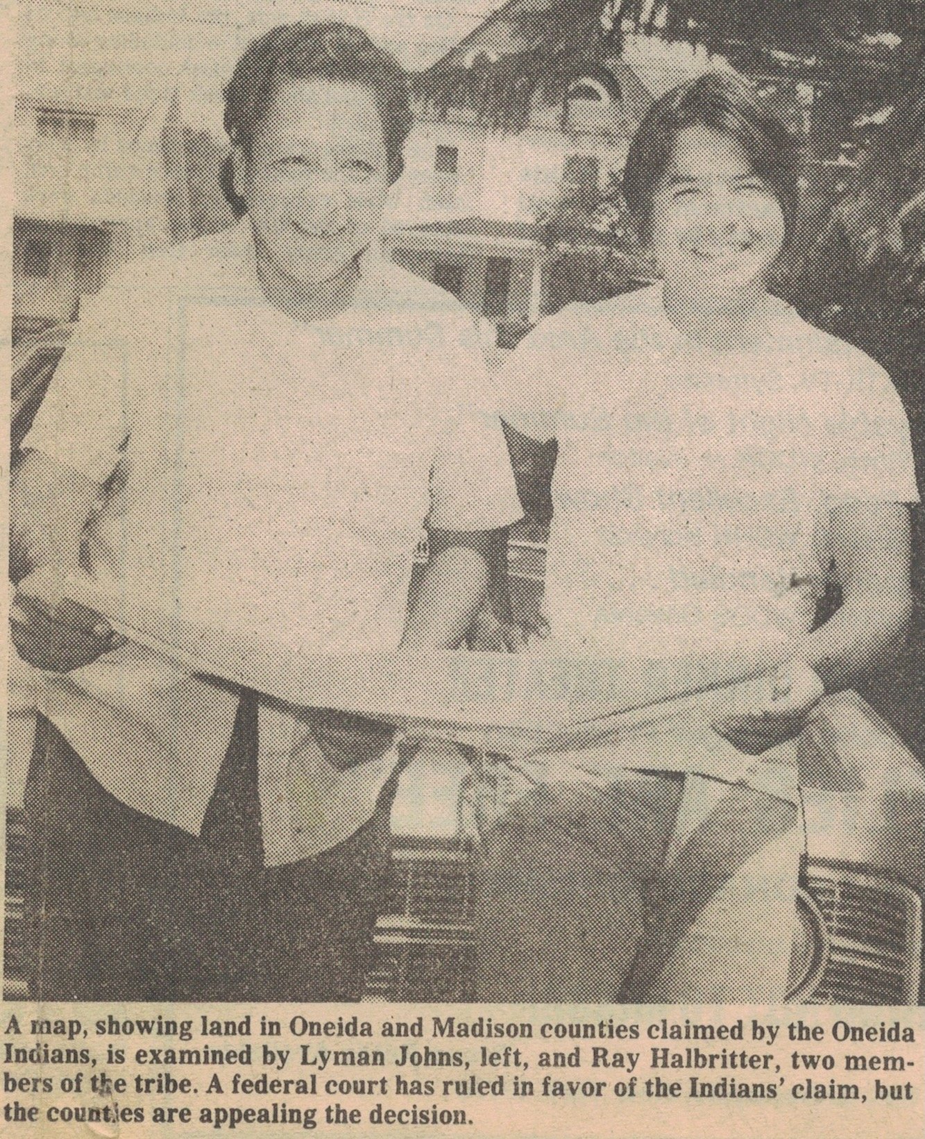
Lyman K. “Jake” John (1928-1983), son of Electa Doxtator and Lyman John, and Arthur Raymond “Ray” Halbritter. 7 August 1977. Syracuse Herald American, Karst Collection
Oneida City Seal, 1970s. Brewer Collection
Mary Lou Sipperley and Herb Brewer, ca. 1955. Brewer Collection
Susan Brewer, ca. 1961. Brewer Collection
Campaign ad for Herb Brewer, 1975. Oneida Daily Dispatch, Brewer Collection
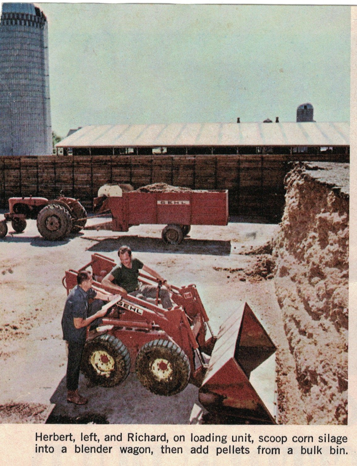
Herb and Dick Brewer in “Successful Farming,” 1974. Brewer Collection
Brewer Farm in the 1970s with the home of Becki Karst in the upper right-hand corner. Brewer Collection
Holly, Casey, Nathan, and Josh, the grandchildren of Herb and Mary Lou Brewer, Brewer Farm, ca.1992. Brewer Collection
“Farmers for Justice and Equality,” sign of the land claims controversy, ca. 2000. Brewer Collection
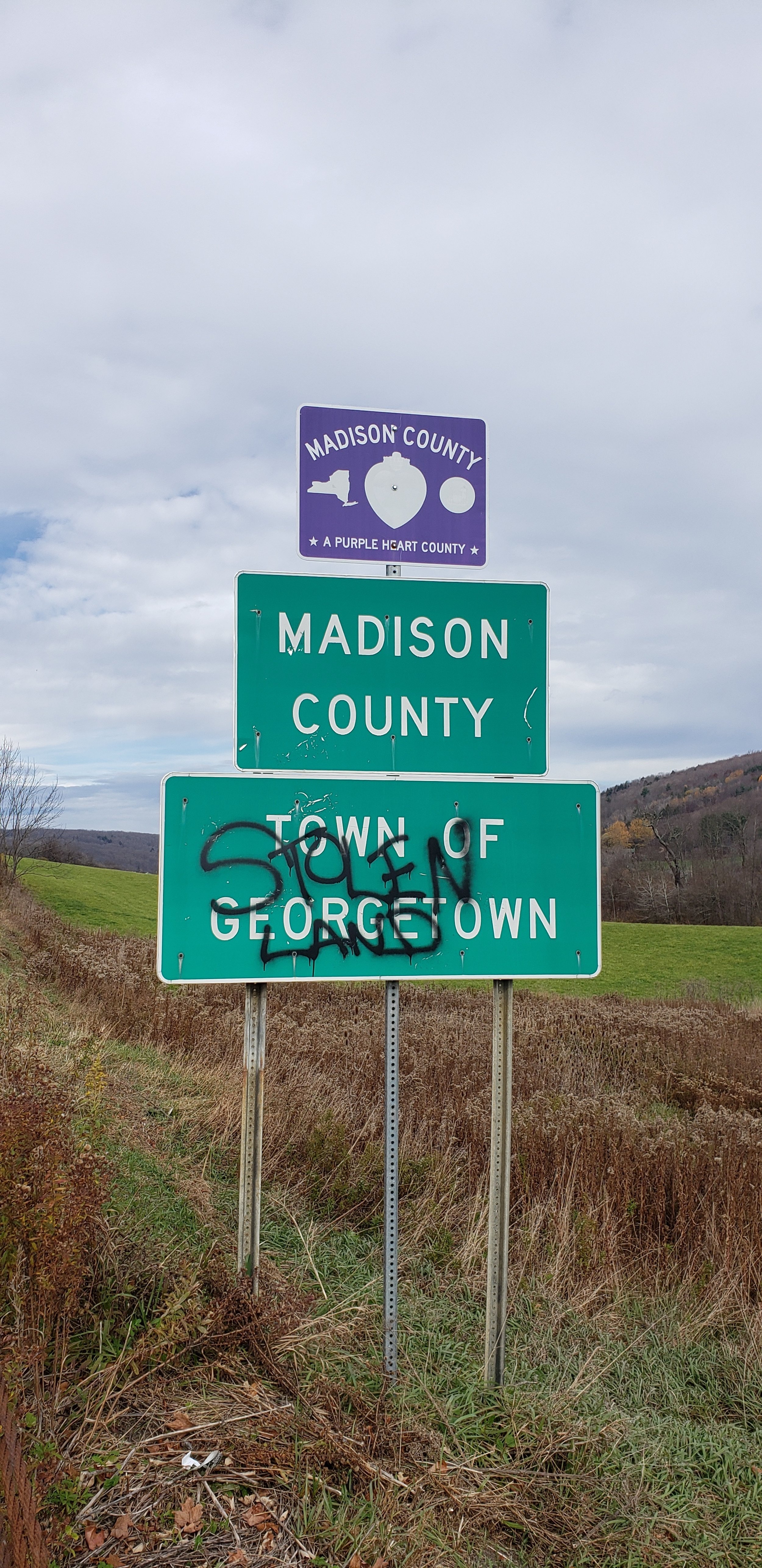
“Stolen Land,” Madison County, 2022. Brewer Collection


